 (1)")
 Ross Swain (2)")
 George Fergusson_Compress")
LSM Metaphyton Form Usage
LSM Metaphyton Form Usage Quick Links How to use the LSM Metaphyton Tracking FormPresented by Tristan TaberRecorded on 2024-07-24 The presentation is step-by-step guide on using the LSM metaphyton tracking form. For any additional questions
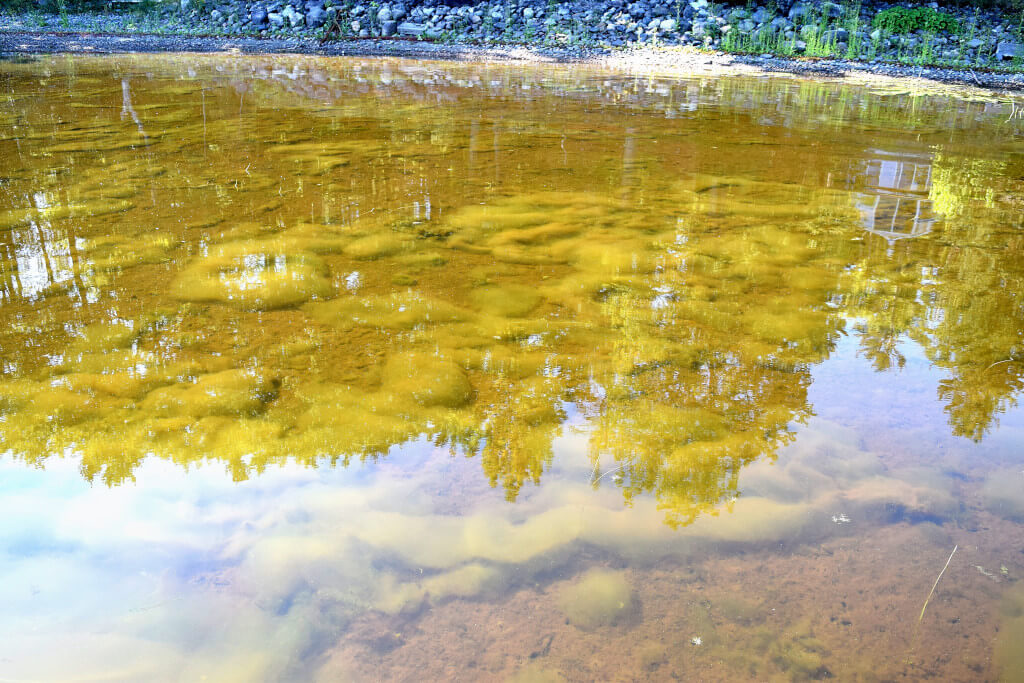
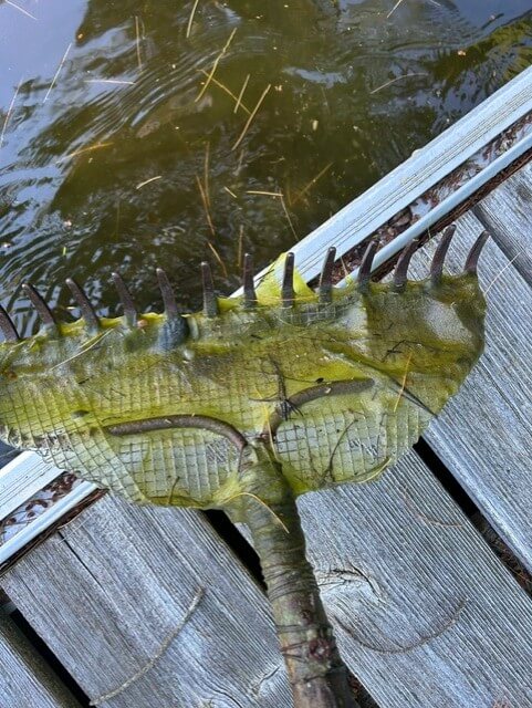
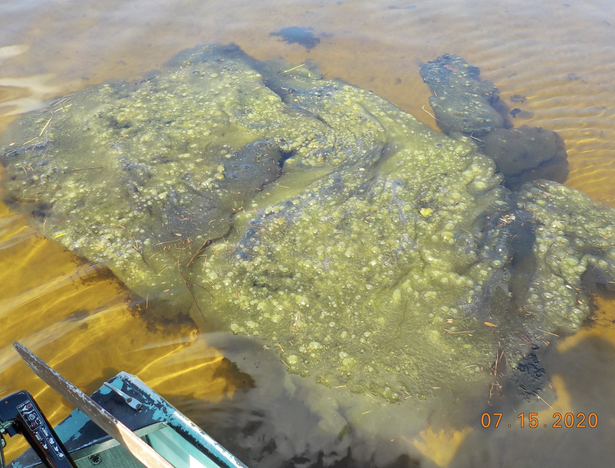
Metaphyton in Our Maine Lakes
Metaphyton in Our Maine Lakes To download the PDF, simply click the button below. Download
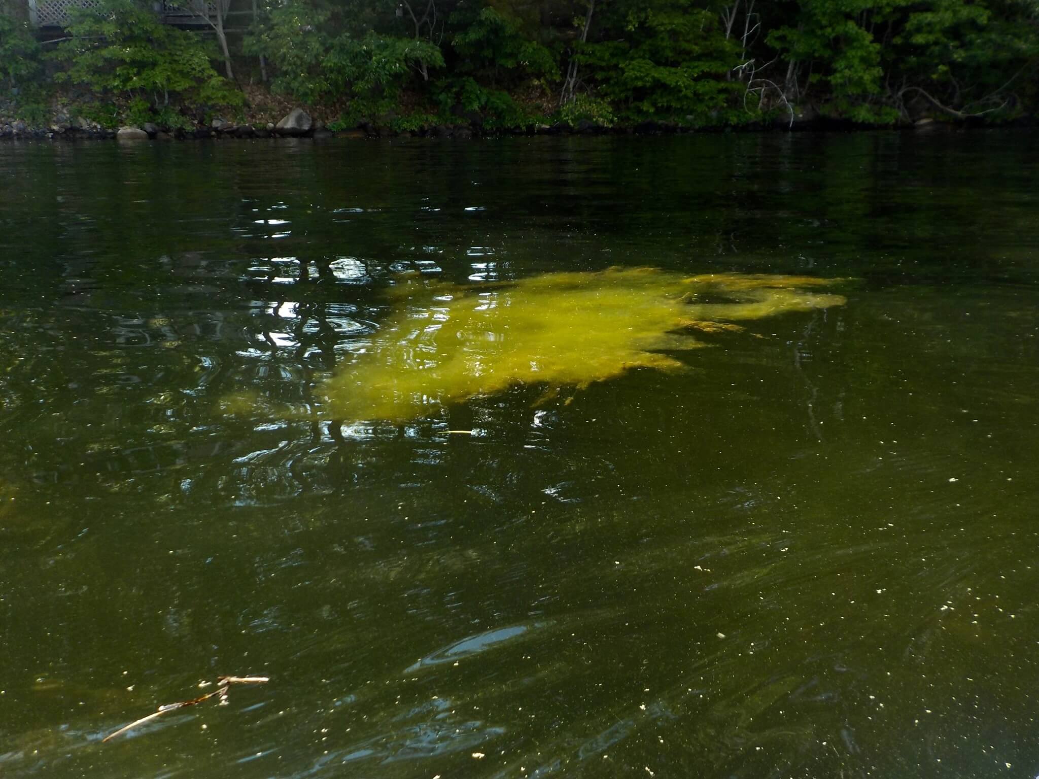
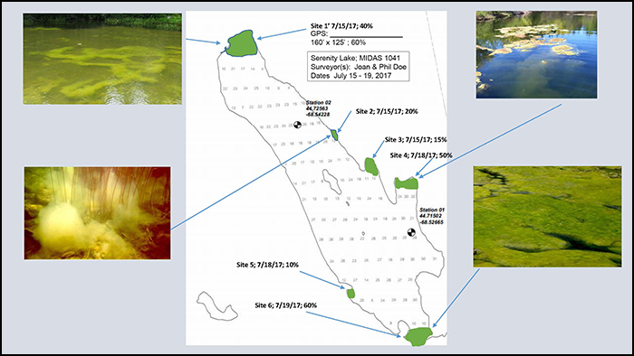
Metaphyton Tracking Form
Metaphyton Tracking Form Please help the Lake Stewards of Maine (LSM) track metaphyton in our lakes! Using the form below you can submit observations of metaphyton. Thank you! For more information on metaphyton please see